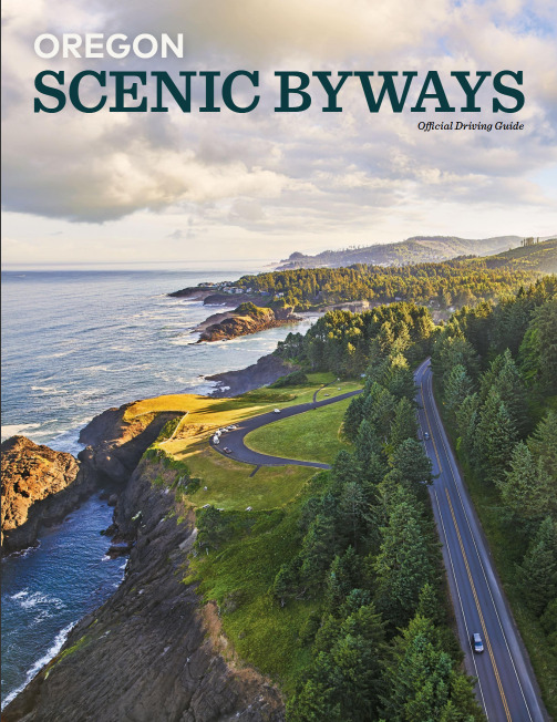
Digital Brochures
Planning your adventure?
Check out our full range of resources to help build your itinerary!
Agritourism - Union County
The Grande Ronde Farm Trail is a perfect way to enjoy the scenery and explore some of the abundant farms and ranches that are the heart and soul of the Grande Ronde Valley. This self-guided tour of farms, dairies, ranches, orchards, gardens and self-serve farm stands highlights traditional and modern farming methods. Once a year, most are open for the Union County Farm Crawl, a one-day event celebrating nature's bounty.
Farm Trails of Eastern Oregon
Century Farms, produce stands and tasting rooms line the scenic routes of the River to Hills Farm Trail. Take time to talk to the farmers and ranchers who are proud stewards of this land and love to share their stories of where our food comes from. Miles of wide-open beauty, plus craft brews, wineries and small friendly towns await on this fun driving tour.
Explore abundant farms, orchards and wineries and meet artisan producers who make fresh, delicious food, hand-crafted beverages and fine heritage crafts. Start the self-guided wander in Pendleton, home to the famous Pendleton Round Up, or in the charming town of Milton-Freewater, and plan to experience both cities. Oregon State Route 11 connects the two communities and continues north across the state line to Walla Walla.
The Payette, Malheur and Owyhee Rivers join the Snake River in what is called the Four Rivers area in and around Ontario, Oregon. Water from these rivers nourishes the highly fertile land, producing a variety of crops that help feed and color the world. The winding Snake River forms the border between Oregon and Idaho and eventually joins the Columbia. Explore this self-guided tour in pieces or take a full day to seek out its many treasures.
Not just a pretty place, the area surrounding Kimberly has an excellent micro-climate, rich soil and plentiful water from the John Day River, making this a prime area for growing fruit and vegetables, raising livestock, and recreating. The climate is dry and the smiles warm and genuine. Take time on the curves and watch the sides of the road - wildlife is common (especially mule deer) and cattle have the right-of-way in "free range" country.
Magnificent and rugged, this country holds a pioneer spirit that beckons a closer look. The self-guided driving tour extends from south of Joseph north to the Grande Ronde River Canyon. Along the way, you’ll see 35 well-preserved barns, three historic schools, welcoming little towns and stunning views of the wild Wallowa Mountains and dramatic river canyons. The tour also offers a bike route for cyclists.
Eastern Oregon Visitor Giude
2024 Eastern Oregon Visitor Guide
Let the Eastern Oregon Visitors Guide Magazine be your trusted companion as you embark on an unforgettable journey through one of the most picturesque and diverse regions in the Pacific Northwest. Adventure, culture, and natural beauty await – are you ready to explore?
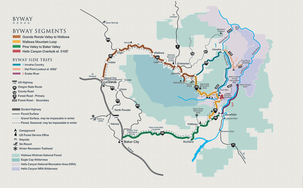
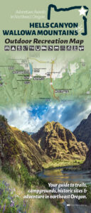
Hells Canyon Scenic By-Way
Click here to go to the Hells Canyon Scenic Byway website.
Length: 218 miles byway proper; with side trips, 400 miles. 1-2 days with an overnight stay in Union County.
Hells Canyon Scenic Byway lets you leave the fast pace and fenced-in views of I-84 and follow the contours of the land into slower times and wilder places. Union County is the perfect starting point for your Hells Canyon adventure!
Information: The route of the Hells Canyon Scenic Byway is a loop that encircles the Wallowa Mountains of NE Oregon, intersecting with Interstate 84 at La Grande and Baker City. Small towns, scattered along the drive, offer visitor services. The entire route is on a paved highway. Plan ahead – you’ll find stretches of more than eighty miles without gas and with few services. A segment of the Byway between Joseph and Halfway closes with snow during the long winter, but allows access to winter recreation areas, offering a whole other kind of Northeast Oregon Adventure.
Length: 218 miles byway proper; with side trips, 400 miles.
Click here for a downloadable map.
Click here for a digital brochure.
Union County Map
2024 Union County Visitors Map
Welcome to the Union County Visitors Map, your ultimate guide to exploring all the treasures that Union County has to offer! This detailed map is designed to help you navigate through the county's rich tapestry of attractions, from its vibrant downtowns to its serene natural landscapes. Whether you are a first-time visitor or a long-time resident, this map is your companion for discovering the hidden gems and must-see destinations in Union County.
Walking, Biking, and Driving Tours
Oregon Scenic Bikeway - The Grande Tour
The Grande Tour Scenic Bikeway in northeast Oregon offers cycling opportunities for every rider. If you are an adventure cyclist seeking a challenging destination ride, try the entire 134-mile figure-eight route, where you will find plenty of rolling, winding country roads with little traffic. Cyclists wanting a more leisurely trip can ride segments near small communities to make your ride fun, comfortable, and memorable.
La Grande Historic Homes Walking Tour
When the Grande Ronde Valley was settled in the 1860s, the area of this tour was mainly open grassy slopes with a few pine trees and wetlands in the flat areas. La Grande's original settlement was several clocks south. The original town site, platted in 1862, included the pioneer campground at what is now Bernie Park. It was bounded by First through Fourth streets A through D avenues. The Oregon Trail became B Ave., C Ave. was the commercial street. The first homestead cabin was built at what is now the corner of B Ave. and Cedar St., marked with a memorial monument.
The Grande Tour - Oregon Scenic Driving Tour Route
Distance: 80 miles - Allow 4-5 hours
"Grande" is the French word for "big" and the Grande Tour delivers. Along the route you'll encounter beautiful mountains, wide open valleys, rich farmlands with crops, and rugged ranges that stretch for miles. This loop makes a lazy figure-eight around the Grande Ronde Valley and is well worth the 80 mile drive. The longest stretch between services is about 50 miles, so start with plenty of fuel and water. Plan your trip for a lunch break in La Grande, Union, or Cove. You could also pack a picnic and enjoy one of the lovely parks (Riverside Park in La Grande) or scenic stops along the way.
Northeast Oregon Arts Trail
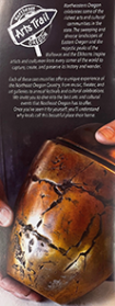
Northeast Oregon celebrates some of the richest arts and cultural communities in the state. The sweeping and diverse landscapes of Eastern Oregon and the majestic peaks of the Wallowas and the Elkhorns inspire artists and craftsmen from every corner of the world to capture, create, and preserve its history and wonder. Each community offers a different unique experience from music, theater, and art galleries to annual festivals and cultural celebrations.
Heritage/Arts & Culture
The Victorian Cemetery of Union
The Victorian Cemetery of Union is more than a burial ground; it is a historical treasure that offers a unique glimpse into the past. We invite you to explore the tranquil beauty and rich heritage of this remarkable site. Thank you for your visit, and we hope you find your time here both enlightening and peaceful.
Outdoor Recreation
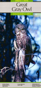
Great Gray Owl- Spring Creek
Welcome to Spring Creek, home to the majestic Great Horned Owl. This iconic bird of prey, known for its striking appearance and powerful presence, can often be spotted in the serene environment of Spring Creek. Whether you're an avid birdwatcher or simply a nature enthusiast, the opportunity to observe these magnificent owls in their natural habitat is a memorable experience.
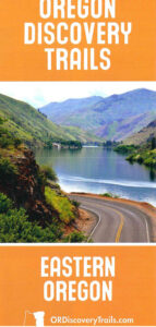
Oregon Discovery Trails- Eastern Oregon
Discover the natural beauty and diverse landscapes of Eastern Oregon with the Eastern Oregon Discovery Trails. These trails offer a unique blend of scenic beauty, wildlife observation, and outdoor adventure, making them perfect for nature enthusiasts and adventure seekers alike.
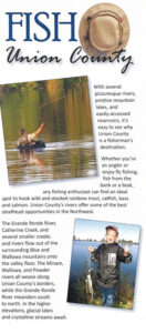
Fish Union County
Welcome to Union County, a paradise for fishing enthusiasts! Whether you’re a seasoned angler or a beginner, Union County offers diverse fishing opportunities in its pristine rivers, lakes, and streams. Discover the joy of fishing in this beautiful region where the waters are teeming with various fish species, and the landscapes are nothing short of breathtaking.

